
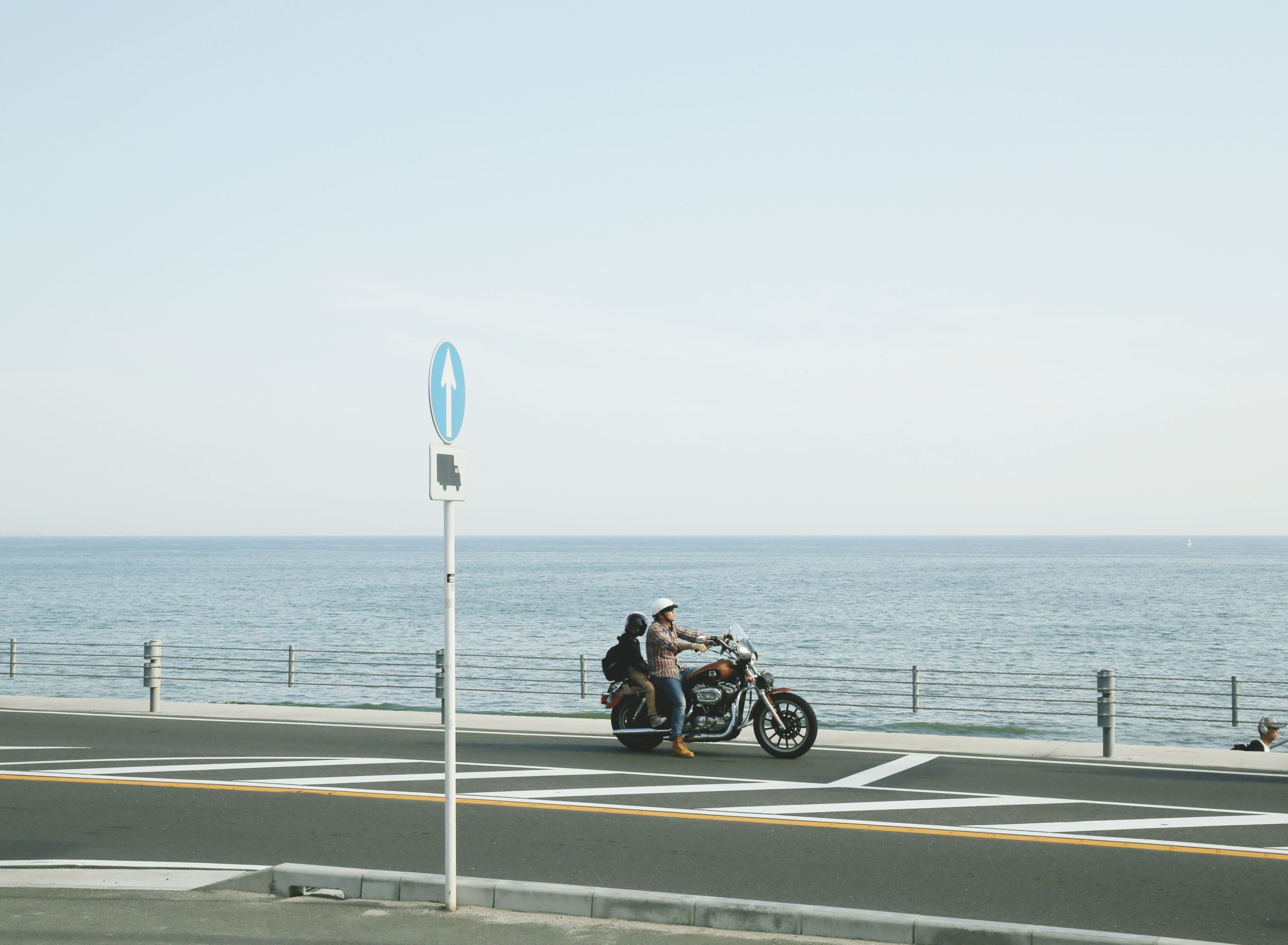
Summer gets sold to Gulf Coast motorcyclists as the obvious season, and the pitch is a little dishonest. The beach is glorious. The riding between 11 a.m. and 4 p.m. usually is not. Layer in a punishing heat index, sea-breeze thunderstorms, and vacation traffic that doubles on the barrier islands, and the gap between a memorable Pensacola ride and a grim one comes down mostly to when you leave the driveway.
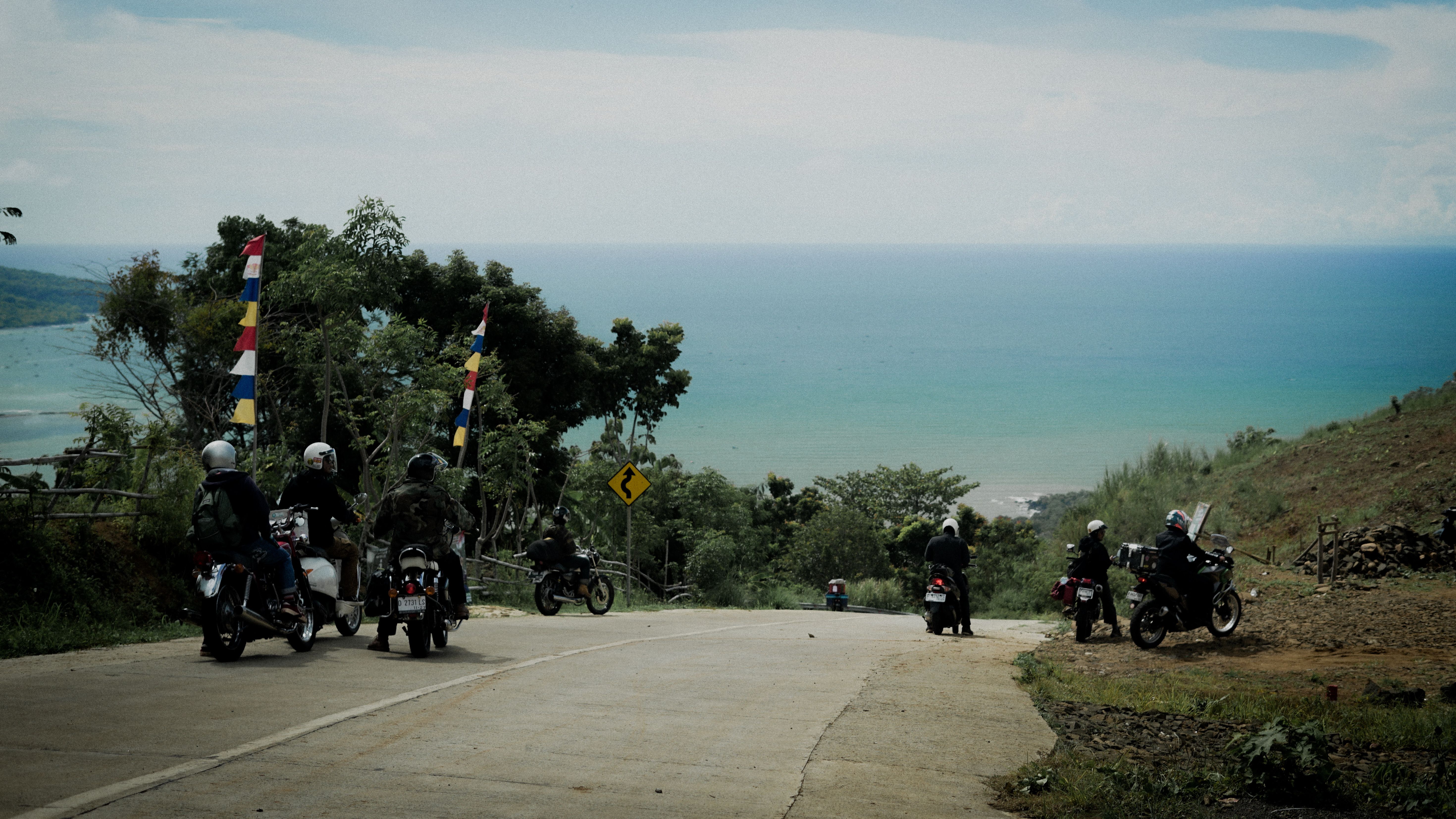
What follows was assembled from the Florida Scenic Highways program, the National Park Service, rider-submitted route databases, and a peer-reviewed study of northern Gulf lightning. Distances are sourced; the timing advice is mine, and you are welcome to curse it at a stoplight in Gulf Breeze.
What summer actually does to these roads
Heat is the first constraint. The second is sneakier. A 2005 study in Weather and Forecasting tracked cloud-to-ground lightning across the northern Gulf Coast and found flash counts climbing to a maximum around 3 p.m. CDT, driven by sea-breeze convection. In plain terms, the storms that soak Pensacola on a July afternoon are born in the heat of the day, and the National Weather Service office in Mobile/Pensacola runs heat advisories through the same hours.
Ride at dawn. Be off the bike or indoors by early afternoon. Treat the post-storm evening as a smaller second window, once the cells collapse and the pavement dries. One number to keep in your helmet: Florida recorded 621 motorcyclist deaths in 2023 – routinely the highest or near-highest total of any state – so the thing that ends these rides is almost never a curve.
The five routes, and when to ride them
Distances below are rounded from the sources in the note; the “summer window” column is my judgment, not gospel.
| Route | Distance | Character | My summer window |
|---|---|---|---|
| SR 399, Santa Rosa Island (Pensacola Beach–Navarre) | ~23 mi | Dunes on both sides, 35 mph, no curves | Sunrise–9 a.m. |
| Scenic Highway 30A | 24 mi | Resort towns, rare coastal dune lakes, stop-and-go | 7–10 a.m. |
| SR 65, the Hosford Highway | ~70 mi | Apalachicola and Tate’s Hell forests, shade and curves | Any time; afternoon relief |
| US 98 west to Mobile | Bay Bridge: 16,138 ft | Six-lane bay crossings, city traffic, crosswinds | Early Sunday morning |
| US 98, Pensacola to Crystal River | ~400 mi | Multi-day; coast, woods, fishing towns | Plan as a trip, not a day ride |
Distances from Florida Scenic Highways, the National Park Service, FDOT project records, and rider-submitted route databases. The “summer window” column is the author’s judgment.
Santa Rosa Island: the ride everyone names first
SR 399 runs roughly 23 miles along the barrier island from Pensacola Beach to Navarre Beach, and the rider reviews agree on the essentials: dunes on both sides, water everywhere, essentially no curves, and a 35 mph pace. On summer weekends the public beach access points fill by mid-morning. The same road that feels empty at sunrise feels like a parking lot by noon.
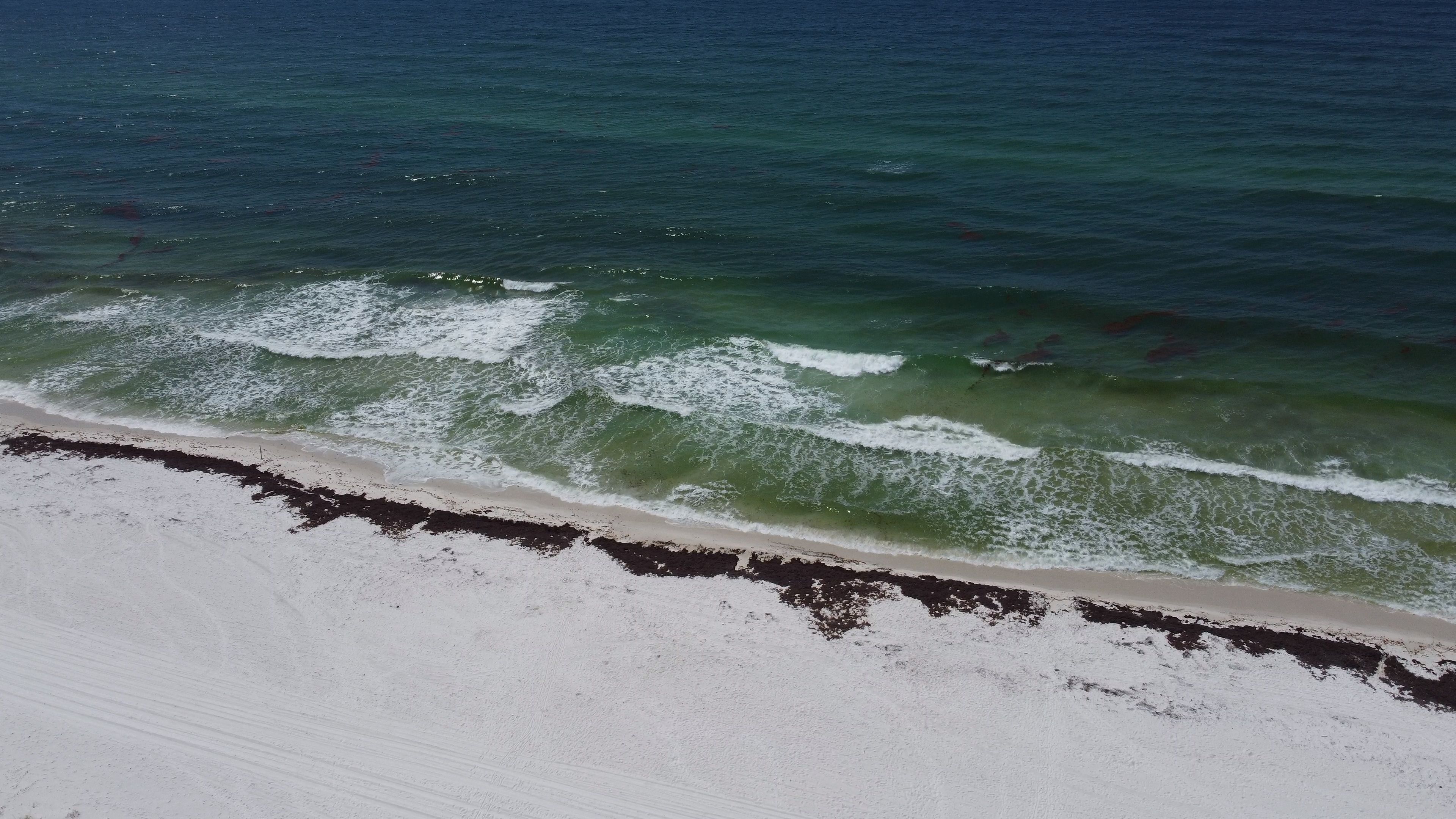
Continue west at the Pensacola Beach traffic light onto Fort Pickens Road. The Fort Pickens unit of Gulf Islands National Seashore holds more than seven miles of Gulf beach, 14 miles of waterfront, and a brick fort built between 1829 and 1834. The gate opens at 8 a.m. year-round and the entrance fee covers a full week, so the detour costs almost nothing.
Scenic Highway 30A: 24 miles of slow
Designated a Florida Scenic Highway in 2008 and a National Scenic Byway in 2021, 30A runs 24 miles through Walton County past Grayton Beach, Seaside, and Rosemary Beach, hugging rare coastal dune lakes the whole way. It is genuinely beautiful and genuinely slow – a two-lane road threading resort towns that in July becomes a conga line of SUVs. Ride it before 10 a.m., when the shops are still shuttered and the road is yours.
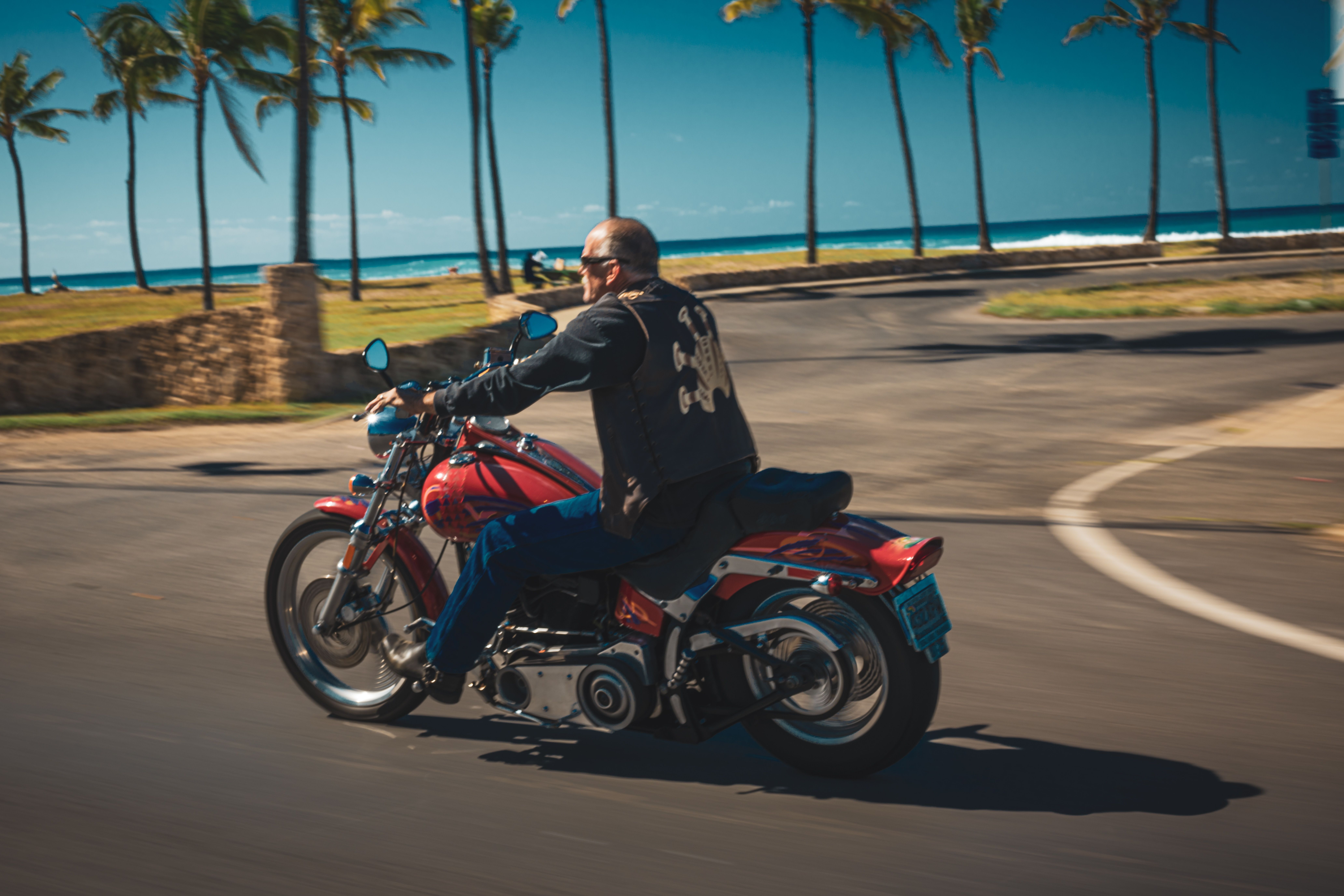
Not everyone thinks it belongs on a summer list. Roadrunner magazine’s advice for the route is blunt: “Summers in Florida can get hellishly hot and humid,” with a recommendation to hit it in fall. Fair enough – except that fall is not when most people are here. The compromise is early morning, not another season.
SR 65, the Hosford Highway: the underrated one
If the beach strip leaves you cold, State Route 65 runs roughly 70 miles from the I-10 corridor near Quincy south to Eastpoint, cutting through Apalachicola National Forest and Tate’s Hell State Forest. It carries almost no traffic, it has real curves, and the tree canopy drops the temperature a few degrees. It is the closest thing to a cool summer ride on this coast.
US 98 west: cross a bay, then another
The run west from Gulf Breeze opens with the Pensacola Bay Bridge: 16,138 feet, about three miles, six lanes, roughly 50,580 vehicles a day, with the second span only opened in early 2023. From there it is downtown Pensacola, the Alabama line, Fairhope and Daphne, and finally the Bankhead Tunnel under Mobile Bay. This is a commuting corridor first and a scenic route second, so the reward goes to whoever rides it at 7 a.m. on a Sunday.
Wind fatigue is the quiet part of a summer ride
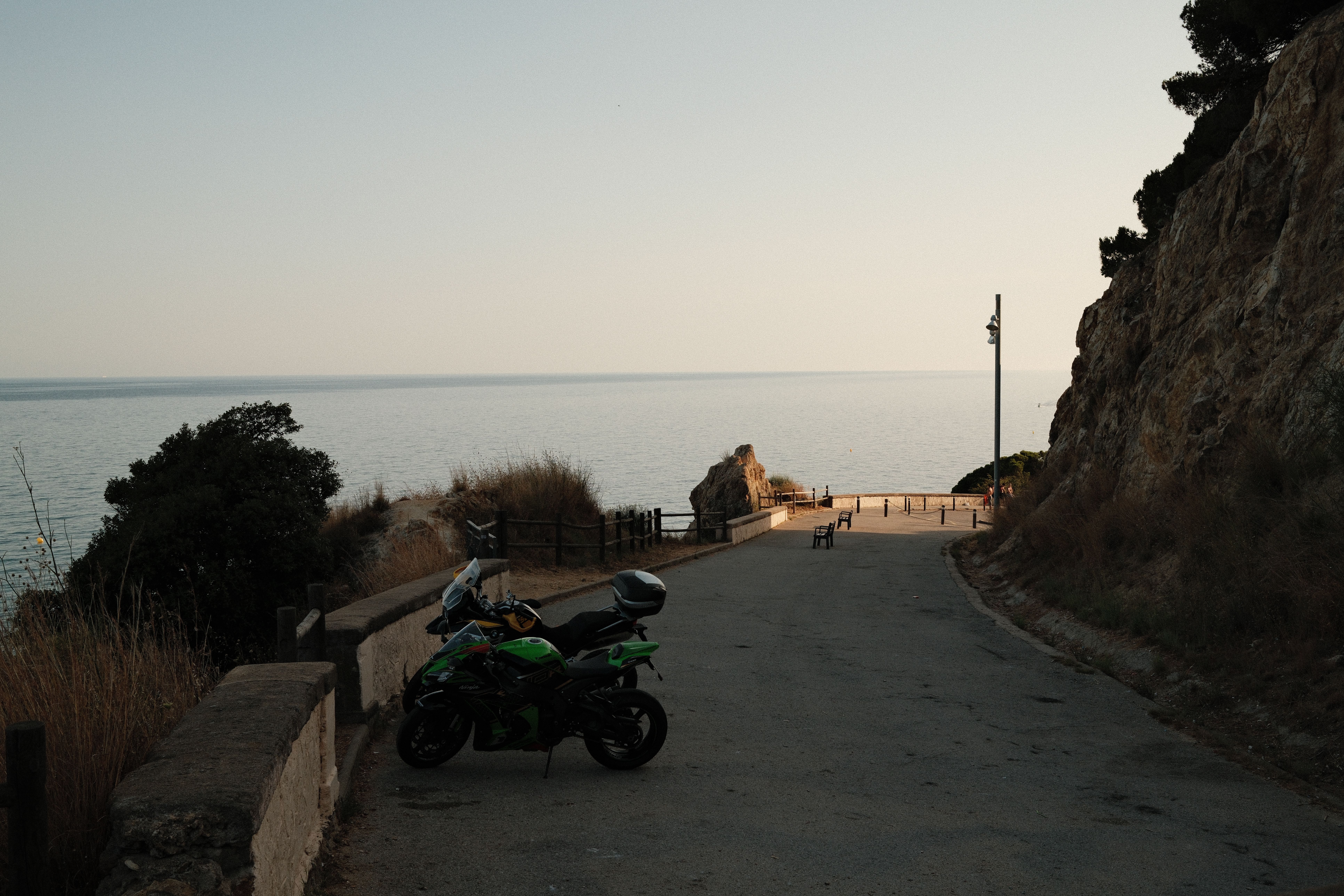
Here is my honest read after mapping these routes: the most underrated upgrade for this coast is not a louder exhaust or a bigger tank. It is the screen in front of you. Every route above includes long, exposed, cross-wind bridge and causeway miles, and wind blast at highway speed works your neck, shoulders, and grip continuously. That fatigue accumulates quietly and shows up as sloppy inputs late in the day. A properly sized motorcycle windshield removes most of the chest pressure, cuts wind noise, and keeps grit and insects off your visor – small things that compound across 200 miles.
Quick answers before you go
What time should I start? Before 8 a.m. The first two hours are cooler, calmer, and nearly empty.
Are these routes twisty? Mostly not. SR 399 and 30A are straight beach roads; SR 65 is where the curves live.
Is the beach riding worth it in summer? Yes, at dawn. At noon, not so much.
How do I handle afternoon storms? Check radar before you leave, plan a stop with a roof, and never ride through lightning. Florida leads the nation in lightning deaths.
Any tolls? The bridge onto Pensacola Beach runs about $1.00; the Mid-Bay Bridge near Destin is tolled with no free alternative.
How this was put together
I built this guide around three questions: which Gulf Coast routes are worth a summer morning, what the heat and storm pattern actually does to them, and where the standard “beach ride” advice breaks down. Distances and route designations come from the Florida Scenic Highways program, the National Park Service, and FDOT project records; the storm timing comes from the 2005 Weather and Forecasting study on northern Gulf lightning. I could not verify a single authoritative mileage for the westbound US 98 run to Mobile, so I left one out rather than guess. Heat, storm, and traffic patterns shift yearly – recheck before a long trip.